

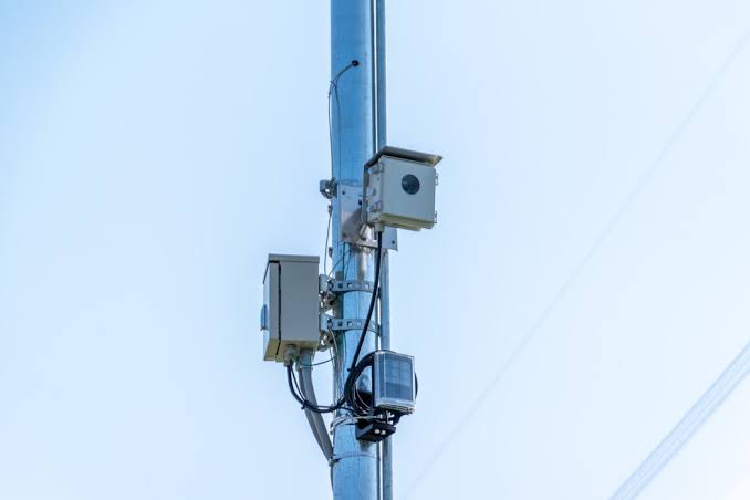
The Punjab government has introduced a new monitoring system by installing modern 4G cameras along the province’s main rivers. These cameras are designed to track water levels in real time, helping officials respond faster during emergencies like floods.
Through this system, the cameras send continuous live footage to central control rooms. There, trained experts keep a close watch on the situation. If water levels rise above the safe limit, immediate alerts are issued so that rescue and relief operations can begin without delay.
This real-time monitoring allows authorities to take preventive measures before floods cause major destruction.
The initiative is a key part of Punjab’s broader flood management plan. Every year, floods threaten not only human lives but also destroy crops, homes, and public infrastructure.
By using advanced technology, the government aims to reduce risks and provide protection to communities living near rivers. Farmers are expected to benefit greatly, as early warnings can help them prepare and safeguard their crops.
Officials believe that technology-driven solutions like these can save both time and resources in disaster management. The cameras will also help in planning long-term strategies, as the collected data will be used to study water flow patterns and predict future risks more accurately.
This step highlights the province’s growing focus on using digital tools for public safety. With climate change increasing the frequency of natural disasters, such initiatives are seen as vital for protecting lives and strengthening resilience. Punjab’s leadership hopes that this system will serve as a model for other provinces in Pakistan.