

Carpeted on the mountain range of Koh-Suleman, Fort Munro is a lush green hill station located in Dera Ghazi Khan. With its splendid beauty and location, the fort is home to many tourists.
Tuman Leghari, Anari Mool, and Loilaresir are the names of Fort Munro in the Baloch language. The fort was originally developed as a summer hill station by the British in the late 19th century. Located at the height of 1970 meters with beautiful pine trees, mango trees, and jaw-dropping scenic beauty Fort Munro is a beautiful asset of Pakistan.
History
There is a brief history associated with the fort. Formerly known as the Loilaresir aforetime British developed this area. In the late 19th century, Sir Robert Groves Sandeman founded a town called ‘Fort Munro.’ The name was given after Major General Andrew Aldcorn Munro. He was the commissioner of both the Multan division and the Derajat division.
On the top of the hill was established the Sandeman Lodge, a colonial residence, DCO house, and the commissioner house. There is also a Christian cemetery established near the DCO house.
Location
The fort lies in the foothills of Koh-e-Suleman. You can reach the fort either from Multan Punjab or Lorelai Baluchistan. If you are traveling from Punjab, Koh-e-Suleman begins near Rakhni.
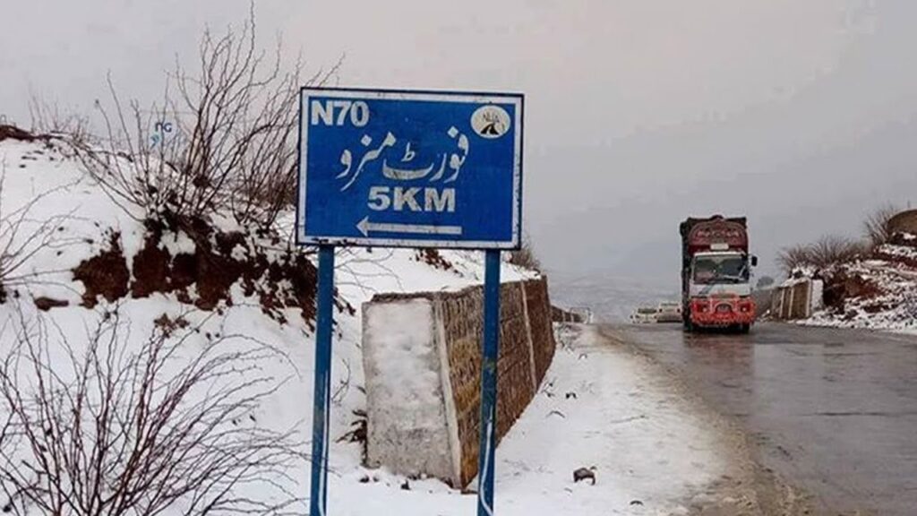
Fort Munro’s distance from Multan is about 174-179 km traveling by National highway 70. It takes about 3 hours and 30 minutes to reach the fort from Multan. The distance between Fort Munro from Dera Ghazi Khan is around 85 km.
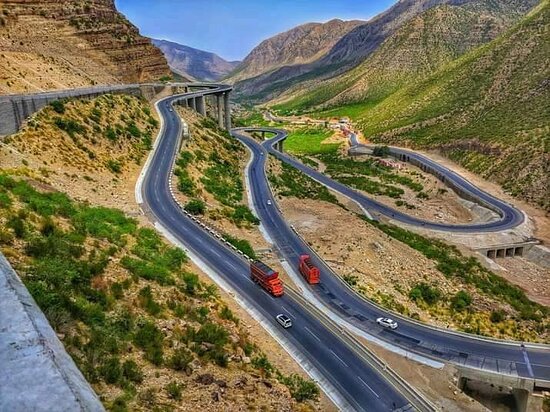
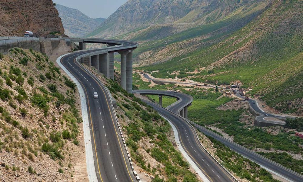
Fort Munro steel bridge
The fort Munro bridge will be the second biggest bridge worldwide. The steel bridge is carpeted over 33 km in the mountainous area of national highway 70 to make the access to the fort convenient. Moreover, the old road connecting Rahim Yar khan to Dera Ghazi Khan has also been replaced by the CPEC road.
The Fort Munro steel bridge project has already installed 8 bridges beginning from Rakhi Gaaj-Khar-Bewata. The steel bridge has not only widened the road but also made expedition safe and allows safe transport to Gwadar. The first phase of the bridge has been completed.
Geography and tourism
This beautiful hill station is situated at 6470 feet (1970 m). Its location in the clouds makes it the coldest and most pleasant region in DG Khan. The random snowfall makes it a more interesting place to spend your summers. The average rainfall recorded is 10.70 inches per annum.
The locals call this place ‘Mini Murree.’ Tourists visit the place a lot for its scenic beauty and historical significance for exploring southern Punjab and for adventures. Hiking, camping and trekking are some of the popular activities.
The government is also trying to preserve this ‘jewel’ of Pakistan. The new infrastructure projects have been initialized to make the access easy and provide other facilities. Development of chairlifts, cable cars, and others are in progress to make the fort a top tourism spot. To maintain cleanliness, a cleanliness drive was also initialized.
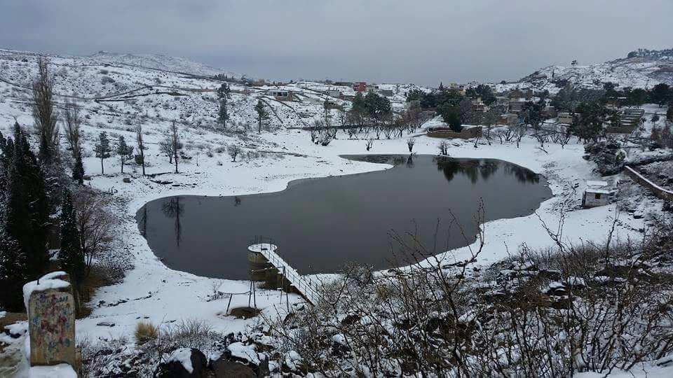
On the way to Fort Munro, many spots make your journey enjoyable. There is a natural lake present in the area as well. The lake is also the source of potable water consumed by the locals. Do not forget to visit Munro lodge (Deputy Commissioner House), a regional court, Commissioner House, ruins of the ancient fort, and an old cemetery.
Weather
Fort Munro weather is mostly cold, with frequent snowfalls and rainfall throughout. These features make the fort a popular hill station during summers. The fort Munro temperature remains cloudy and cold.
The article concludes with all the details you need to know about Fort Munro, Pakistan, its geography, location, and tourism spots.