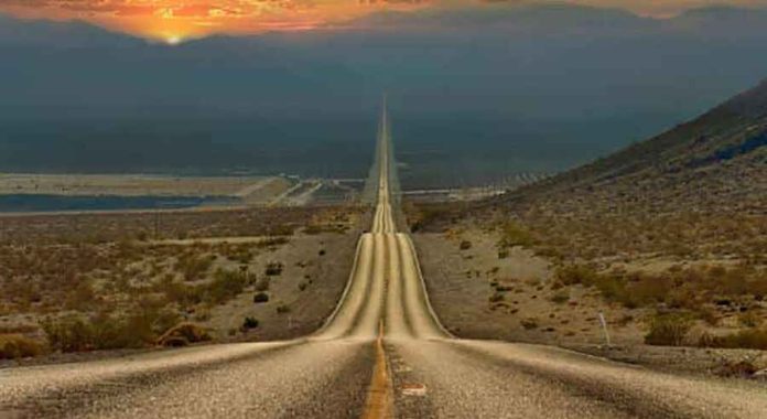
Death Valley, located primarily in Inyo County, southeastern California, U.S., is famous for being the lowest, hottest, and driest region in North America. It stretches around 140 miles (225 km) in length and is relatively narrow, ranging from 5 to 15 miles (8 to 24 km) in width. The valley is flanked by the Panamint Range to the west and the Black, Funeral, and Grapevine Mountains of the Amargosa Range to the east. It lies close to the boundary between the Great Basin and the Mojave Desert.
Geologically, Death Valley is part of the southwestern section of the Great Basin and shares similarities with other basins in the region. However, it stands out due to its exceptional depth. The valley’s floor contains a vast salt pan, making it one of the lowest areas in the Americas.
Around 550 square miles (1,425 square km) of the valley’s floor are below sea level, with the lowest point being Badwater Basin, descending to 282 feet (86 meters) below sea level. Interestingly, just 20 miles (30 km) to the west lies Telescope Peak, the highest point in the area, reaching an elevation of 11,049 feet (3,368 meters).
The name “Death Valley” originated from its historical role as a challenging obstacle for pioneer settlers, and later, it became a significant center for borax mining. In modern times, its extreme environment has attracted tourists and scientists who are fascinated by its unique characteristics and geological wonders.


