


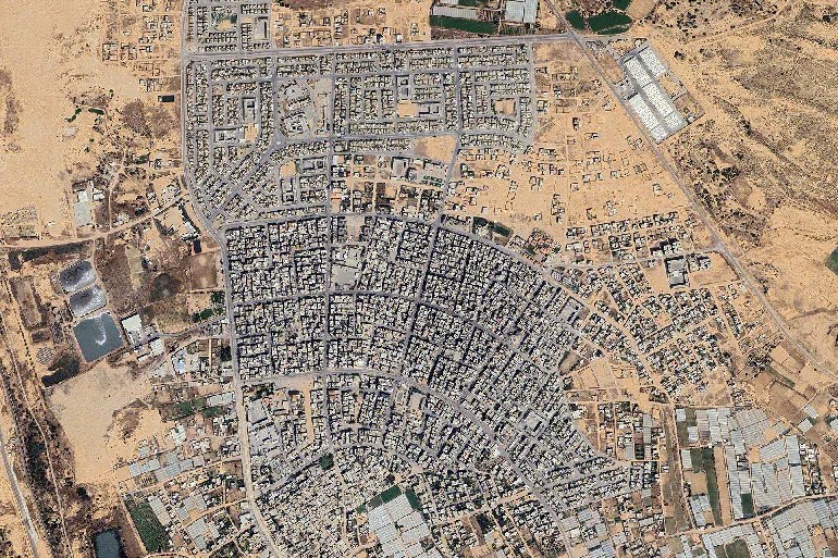
New satellite images have shown large-scale destruction and major changes in southern Gaza. Recent pictures from sources like Planet Labs and Google Earth reveal widespread clearing of buildings, neighbourhoods, and infrastructure, especially in areas such as Khan Younis and Rafah.
Analysts say Israeli forces are expanding control and building new military sites. Images from May 2026 show the creation of buffer zones, outposts, and fortified positions on land that was once home to civilians. Entire residential areas, cemeteries, and farmland appear flattened or replaced with military structures.
This development comes after earlier ceasefire agreements that included a so-called “Yellow Line” to limit Israeli presence. However, satellite data suggests control has gone beyond those lines in several places. Military engineering work continues while civilian reconstruction remains very slow.
Humanitarian groups have raised serious concerns. The destruction has caused more displacement, limited access to clean water, electricity, and healthcare. Many families cannot return to their homes, and the long-term impact on civilians is worrying the international community.
These changes are reshaping southern Gaza’s landscape. While Israel says the moves are needed for security, Palestinian residents and rights groups call it a form of land control that makes future recovery harder.

